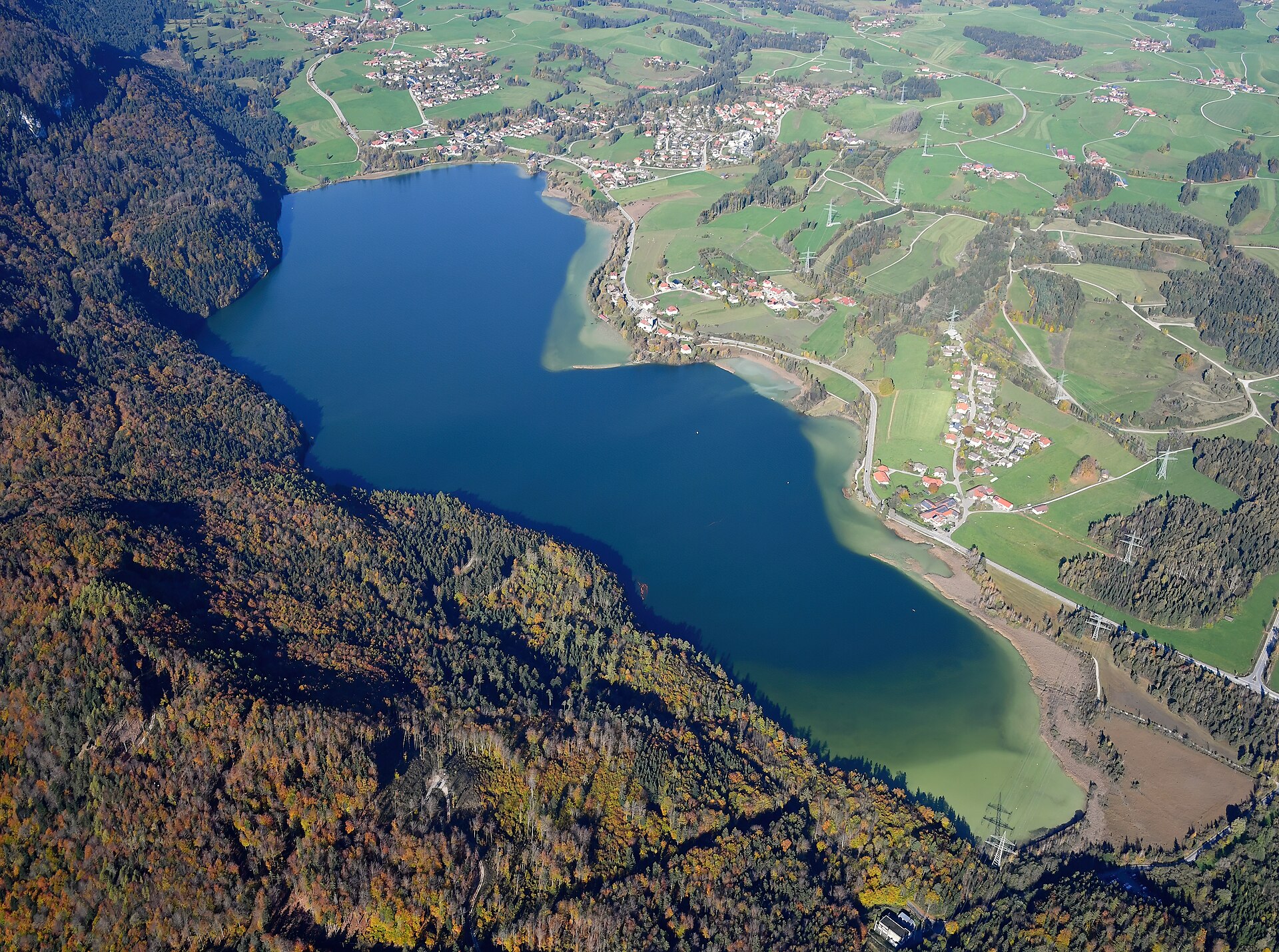
Location: Germany Bavaria Füssen
A lake shaped by the Ice Age west of Füssen at the edge of the Alps – with a circular path, summer swimming and a history going back to the 8th century.
Interesting facts
- The town of Füssen has owned the lake since 1928.
- The Weißensee already belonged to the monastic cell of St. Mang in the 8th century.
- The higher Alatsee lies only about 500 metres further south.
Why visit
- Lakeshore circular path with views of the Allgäu Alps
- Swimming in summer
- Easy to combine with Füssen and the Alatsee
The Weißensee lies west of Füssen on the northern edge of the Alps at an altitude of around 787 metres. It is about 2.3 kilometres long, covers some 1.35 square kilometres and reaches a depth of just under 25 metres. The Füssen districts of Weißensee, Oberried and Moos lie on its shores, and the higher Alatsee is only about 500 metres to the south.
The basin was formed during the Ice Age, mainly by the Lech glacier. Several streams feed the lake, and its outflow is the Füssener Achen. The name is traced back either to white, shimmering lime deposits or to an Alemannic settler called Wizo.
In summer the lake is used for swimming and, according to the source, for ice skating in winter. A circular path runs along the shore. The lake and its surroundings are a protected landscape area.
History
In 753 the Frankish king Pippin gave the lake and the surrounding land to Bishop Wikterp of Augsburg for the newly founded monastic cell of St. Mang. In 1928 the town of Füssen bought the lake, including the fishing rights, from private owners.
Special features
An Ice Age lake in the Alpine foothills with several inflows and an outflow via the Füssener Achen. Fish include whitefish, zander, pike and char; birds on the lake include swans, great crested grebes, coots and several species of duck.
Map
Opens an external route planner. Please check access and opening times before you set off.
Nearby
Faulenbach Valley
Füssen, Bavaria
3.2 km away
Protected karst valley near Füssen with the Mittersee and Obersee lakes, outdoor pools, a Kneipp facility and hiking trails – along the Faulenbach stream between the Alatsee and th…
Route
Oberdeusch Castle Site
Füssen, Bavaria
3.9 km away
Site of a medieval castle of a ministerial family near Oberdeusch, a district of Füssen – only remains of the earthworks and an old well survive.
Route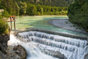
Lech Falls
Füssen, Bavaria
4.3 km away
Waterfall on the River Lech at the edge of Füssen – just under eight metres high, with a gorge, the King Max footbridge and the legendary Magnustritt.
Route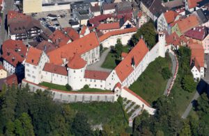
High Castle of Füssen
Füssen, Bavaria
4.4 km away
Late Gothic castle above Füssen's old town, once a seat of the bishops of Augsburg – known for the painted trompe-l'œil architecture in its courtyard.
Route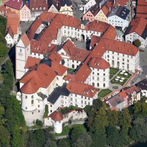
St. Mang’s Abbey
Füssen, Bavaria
4.6 km away
Former Benedictine abbey in Füssen's old town, rebuilt in Baroque style by Johann Jakob Herkomer – today home to the town hall, the town museum and the library.
Route
Sources
Image: Carsten Steger · CC BY-SA 4.0 · Wikimedia Commons
