Location: Belgium Wallonia Dinant
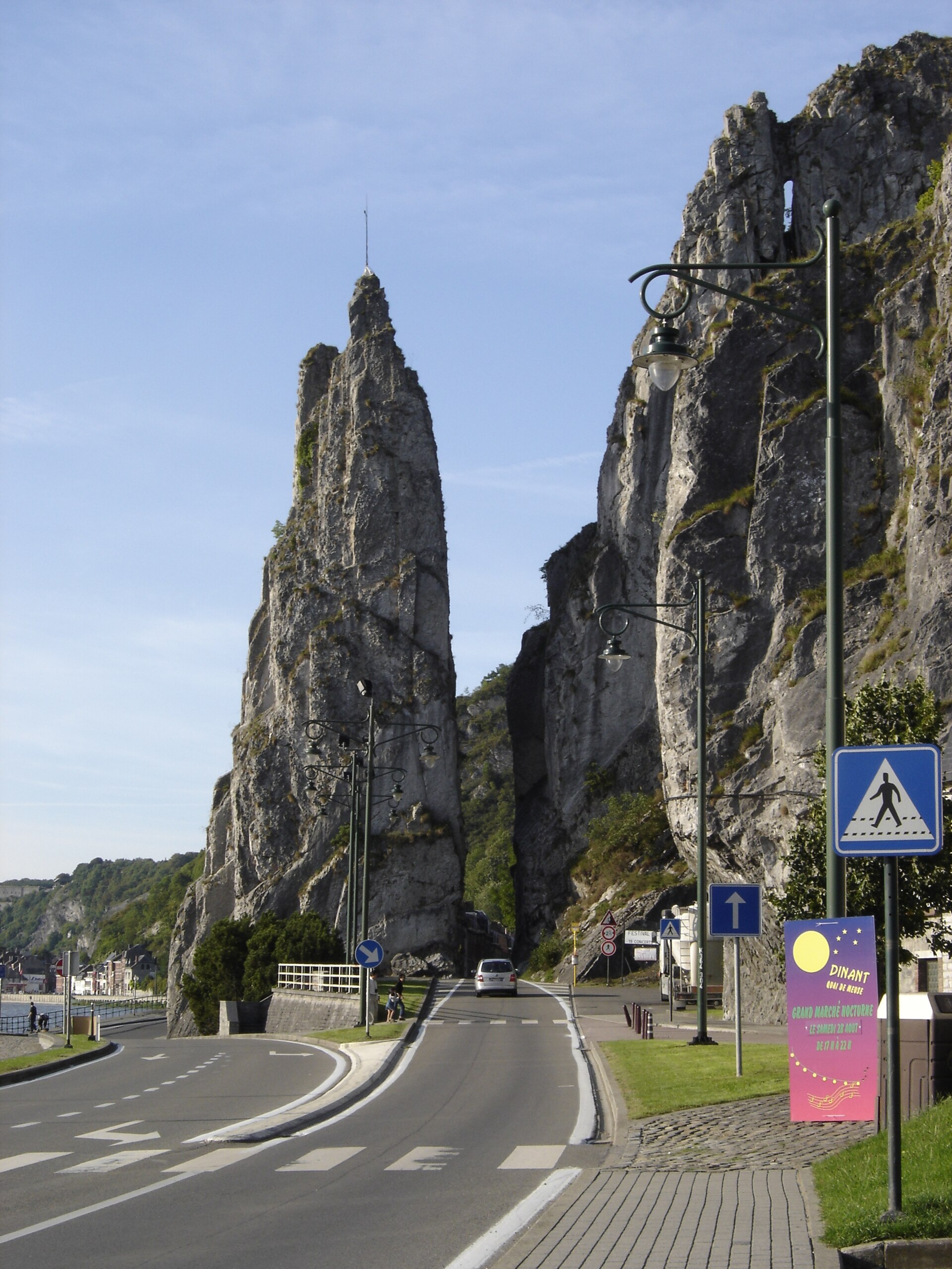
A rock needle about 40 metres high on the Meuse between Dinant and Anseremme – split, according to legend, by the hoof of the magic horse Bayard.
Interesting facts
- The rock needle is about 40 metres high.
- The gap was cut by soldiers of Louis XIV to build a road along the Meuse.
- Gustave Courbet painted the rock around 1856; the painting hangs in the Fitzwilliam Museum in Cambridge.
- Climbing the rock has been forbidden since the 1960s.
Why visit
- One of the best-known photo motifs in the Meuse valley
- Legendary site of the tale of the four sons of Aymon
- A short trip from Dinant, easy to combine with Anseremme
The Rocher Bayard is a rock needle about 40 metres high on the right bank of the Meuse between Dinant and Anseremme. The road runs between the slender column of rock and the rest of the cliff – a sight that has made it one of the best-known photo motifs in the Meuse valley.
It takes its name from a medieval legend: Bayard was the horse of the four sons of Duke Aymon – Renaud, Richard, Alard and Guichard. After a quarrel at the court of Charlemagne in which a nephew of the emperor died, the brothers fled through the Ardennes on the horse’s back. Cornered high above the Meuse, Bayard struck the rock with his hoof and leapt across the river – and the rock split in two. A hoofprint is said to be visible to this day.
In reality the gap is man-made: after taking Dinant, soldiers of Louis XIV separated the rock from the cliff to build an easy road along the Meuse. The passage was later widened for motor traffic. Victor Hugo described the rock in 1838 on his journey to the Rhine, and Gustave Courbet painted it around 1856; the painting now hangs in the Fitzwilliam Museum in Cambridge. The rock was first climbed in the 1930s; since the 1960s climbing has been forbidden because of the nearby road.
History
According to legend split by Bayard, the horse of the four sons of Aymon; in reality separated from the cliff by soldiers of Louis XIV after they took Dinant, to build a road along the Meuse, later widened for cars. Described by Victor Hugo in 1838, painted by Gustave Courbet around 1856. First ascent in the 1930s, climbing banned since the 1960s.
Special features
Free-standing rock needle about 40 metres high on the right bank of the Meuse; the road passes between the needle and the cliff.
Practical information
- Suitable for
- Families, photographers, day-trippers in the Meuse valley.
- Getting there
- On the right bank of the Meuse on the road between Dinant and Anseremme, just south of Dinant town centre. The rock can be seen freely from outside; climbing is forbidden.
Details may change. Please check current information with the operator before your visit.
Map
Opens an external route planner. Please check access and opening times before you set off.
Nearby
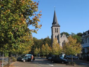
Church of Saint Anne, Anseremme
Dinant, Wallonia
1.2 km away
Neo-Gothic church of 1906–1907 at the confluence of the Lesse and the Meuse in Anseremme – with a 12th-century baptismal font.
Route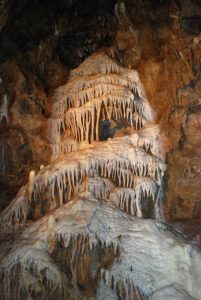
La Merveilleuse Cave
Dinant, Wallonia
1.6 km away
Show cave near Dinant, discovered in 1904 during the construction of a light railway – with calcite cascades and an underground river.
Route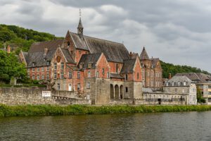
Former Capuchin Convent, Dinant
Dinant, Wallonia
1.7 km away
Early 17th-century convent on the left bank of the Meuse in Dinant – a plain complex around a cloister, today home to municipal social services.
Route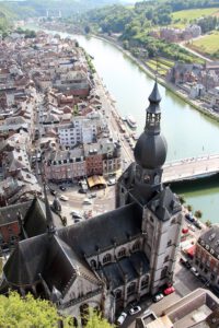
Collegiate Church of Our Lady, Dinant
Dinant, Wallonia
1.9 km away
Gothic collegiate church on the Meuse with a distinctive onion-shaped spire against the cliff – Dinant's landmark, with one of the largest church windows in Europe.
Route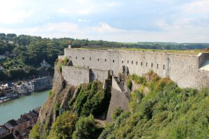
Citadel of Dinant
Dinant, Wallonia
2.0 km away
Fortress on the rock above Dinant and the River Meuse – today a museum, also reached by cable car, with views over the town and the river.
RouteTrou Magrite
Dinant, Wallonia
2.5 km away
Prehistoric cave above the River Lesse at Pont-à-Lesse (Dinant) – site of a 3.8-centimetre ivory figurine and of Neanderthal remains.
Route
Sources
- Wikipedia (fr): Rocher Bayard
- Wikipedia (en): Dinant
- Wikidata: Q2769371
- OpenStreetMap: way/115468294 (© OpenStreetMap contributors, ODbL)
Image: Mamiot · CC BY-SA 3.0 · Wikimedia Commons
